
Fezzan · Garamantes · Wadi al-Ajal
Germa Libya: Exploring the Ancient Garamantian Capital
Discover ancient Garama, the desert capital of the Garamantes, and explore the archaeology, landscapes and remarkable history of Libya’s Wadi al-Ajal.
Explore Germa ↓Germa Libya
Garama Ancient capital of a Saharan kingdom that developed deep in the Fezzan.An ancient city in the heart of the Libyan Sahara
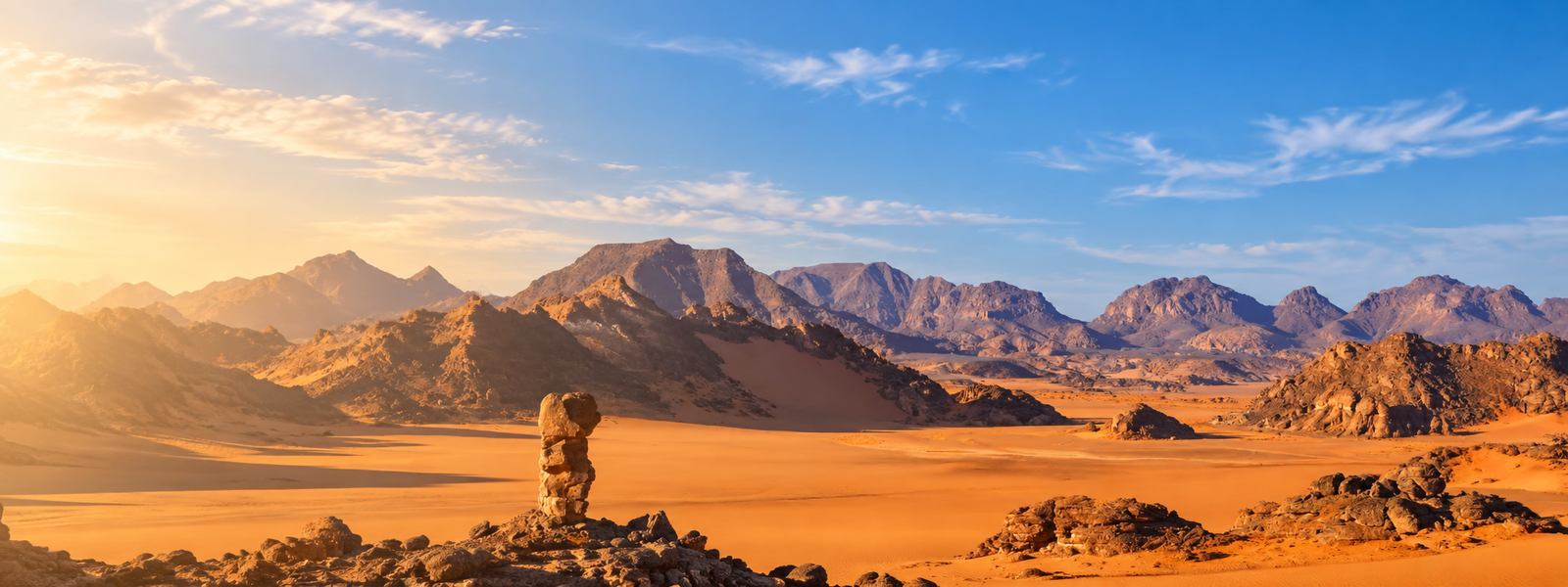
Germa, in Libya’s Fezzan region, stands beside the remains of ancient Garama, the principal city of the Garamantes. The Garamantes developed a remarkable society in the Sahara, supported by oasis agriculture, long-distance connections and an extensive network of settlements across Wadi al-Ajal.
Archaeology has revealed a history much richer than the image of an isolated desert community. Ancient settlements, cemeteries, monumental tombs and underground irrigation channels all show how extensively the valley was inhabited.
For travellers heading toward Ubari, Germa adds an important historical layer to the desert journey. The surrounding landscape is not simply scenery: it preserves traces of communities that lived and farmed here for centuries.
The people behind Garama
Who were the Garamantes?
The Garamantes were an important ancient population of Fezzan whose settlements developed across the oasis landscape of southern Libya.
Garama
Ancient Garama became the principal urban centre associated with the Garamantes and gives modern Germa much of its archaeological importance.
Oasis farming
Agriculture supported permanent communities despite the demanding Saharan environment.
Foggaras
Underground channels helped bring groundwater toward cultivated areas of the valley.
A populated valley
Archaeological remains show that Garamantian occupation extended far beyond a single city.
Ancient cemeteries
Thousands of graves and a variety of funerary monuments survive across the surrounding landscape.
Desert society
The Garamantian story shows how sophisticated settled communities could develop in the Sahara.
Two important places
Ancient Garama and Zinchecra
Germa’s story becomes clearer when ancient Garama is viewed together with the earlier fortified settlement of Zinchecra.
Garama
Archaeological work at Garama has uncovered successive phases of mud-brick buildings and evidence of a substantial settlement in Wadi al-Ajal.
Pottery recovered from the site includes material dating to the later fifth and fourth centuries BC, while the city developed further during the centuries that followed.
Zinchecra
Zinchecra is a fortified spur settlement southwest of Garama. Archaeological evidence from the site reaches back much earlier than the material currently known from Garama itself.
Excavations have identified phases of occupation extending into the first millennium BC, helping archaeologists trace the development of Garamantian society before Garama became its principal centre.
Water beneath the desert
The foggaras of Wadi al-Ajal
One of the most remarkable parts of the Garamantian landscape is the extensive system of underground water channels known as foggaras.
These channels tapped groundwater and carried it toward the cultivated areas of the valley. Vertical shafts gave access to the underground passages during construction and maintenance.
Archaeological research has confirmed that many of these systems have pre-Islamic origins. Their scale helps explain how settled agriculture could support communities in such an arid environment.
Across the landscape
Archaeology beyond the city walls
The archaeological story of Germa extends across the wider valley rather than ending at the remains of the ancient city.
Archaeologists have recorded large numbers of graves ranging from relatively simple burials to more elaborate funerary monuments.
The landscape includes stepped monuments, mud-brick constructions and more elaborate mausoleum forms.
Old Germa and surrounding sites preserve evidence for buildings and communities that occupied the oasis over different periods.
Foggaras and cultivated areas reveal the close relationship between water management and settlement in Wadi al-Ajal.
Local archaeology
Germa Museum
A visit to the museum can add useful context to the archaeological landscape and the history of the Garamantian period.
Understanding what you see outside
Germa Museum has been associated with archaeological material from the Garamantian region and can help visitors understand the objects, settlements and cultures represented by the surrounding sites.
Rather than treating the museum and archaeological remains as separate attractions, it is more useful to see them as two parts of the same story: the museum provides context while the landscape shows where that history unfolded.
Planning your visit
What to know before visiting Germa
Germa works especially well as part of a wider journey through southern Libya rather than as an isolated stop.
Archaeological sites and museum arrangements should be confirmed for your actual travel dates before you set out.
Germa becomes much more meaningful when you understand how Garama, Zinchecra, cemeteries and irrigation systems relate to one another.
Bring sun protection, water and suitable clothing for spending time outdoors in the Fezzan.
Germa can be incorporated into a southern itinerary connecting Sebha with the Ubari region.
Southern Libya
Germa on our Ubari route
Continue into the Sahara
Combine Germa with the Ubari desert
Our current eight-day Ubari Camel Trek begins with travel from Tripoli to Sebha before meeting the desert team in Germa and continuing toward Erg Ubari.
That makes Germa a natural historical gateway to the desert journey. The ancient Garamantian landscape provides context before the route moves deeper into the dunes, lakes and camps of the Ubari region.
Final access, timing and local arrangements are confirmed for each departure before booking.
Explore the 8-Day Ubari Camel Trek →Frequently asked questions
Germa Libya FAQ
What is Germa famous for?
Are Germa and Garama the same place?
What is Zinchecra?
What were the Garamantian foggaras?
Can I visit Germa Museum?
Is Germa included in a Libya Adventures tour?
Is Germa a UNESCO World Heritage Site?
Continue exploring
Plan a deeper journey through Libya
Planning southern Libya?
Include Germa in your Sahara journey
Tell us your preferred dates, number of travellers and the places you would like to visit. We can discuss Germa, Ubari and the practical arrangements for your proposed southern Libya journey.
Send an Enquiry →
Fezzan · Garamantes · Wadi al-Ajal
Germa Libya: Exploring the Ancient Garamantian Capital
Discover ancient Garama, the desert capital of the Garamantes, and explore the archaeology, landscapes and remarkable history of Libya’s Wadi al-Ajal.
Explore Germa ↓Germa Libya
Garama Ancient capital of a Saharan kingdom that developed deep in the Fezzan.An ancient city in the heart of the Libyan Sahara
Germa, in Libya’s Fezzan region, stands beside the remains of ancient Garama, the principal city of the Garamantes. The Garamantes developed a remarkable society in the Sahara, supported by oasis agriculture, long-distance connections and an extensive network of settlements across Wadi al-Ajal.
Archaeology has revealed a history much richer than the image of an isolated desert community. Ancient settlements, cemeteries, monumental tombs and underground irrigation channels all show how extensively the valley was inhabited.
For travellers heading toward Ubari, Germa adds an important historical layer to the desert journey. The surrounding landscape is not simply scenery: it preserves traces of communities that lived and farmed here for centuries.
The people behind Garama
Who were the Garamantes?
The Garamantes were an important ancient population of Fezzan whose settlements developed across the oasis landscape of southern Libya.
Garama
Ancient Garama became the principal urban centre associated with the Garamantes and gives modern Germa much of its archaeological importance.
Oasis farming
Agriculture supported permanent communities despite the demanding Saharan environment.
Foggaras
Underground channels helped bring groundwater toward cultivated areas of the valley.
A populated valley
Archaeological remains show that Garamantian occupation extended far beyond a single city.
Ancient cemeteries
Thousands of graves and a variety of funerary monuments survive across the surrounding landscape.
Desert society
The Garamantian story shows how sophisticated settled communities could develop in the Sahara.
Two important places
Ancient Garama and Zinchecra
Germa’s story becomes clearer when ancient Garama is viewed together with the earlier fortified settlement of Zinchecra.
Garama
Archaeological work at Garama has uncovered successive phases of mud-brick buildings and evidence of a substantial settlement in Wadi al-Ajal.
Pottery recovered from the site includes material dating to the later fifth and fourth centuries BC, while the city developed further during the centuries that followed.
Zinchecra
Zinchecra is a fortified spur settlement southwest of Garama. Archaeological evidence from the site reaches back much earlier than the material currently known from Garama itself.
Excavations have identified phases of occupation extending into the first millennium BC, helping archaeologists trace the development of Garamantian society before Garama became its principal centre.
Water beneath the desert
The foggaras of Wadi al-Ajal
One of the most remarkable parts of the Garamantian landscape is the extensive system of underground water channels known as foggaras.
These channels tapped groundwater and carried it toward the cultivated areas of the valley. Vertical shafts gave access to the underground passages during construction and maintenance.
Archaeological research has confirmed that many of these systems have pre-Islamic origins. Their scale helps explain how settled agriculture could support communities in such an arid environment.
Across the landscape
Archaeology beyond the city walls
The archaeological story of Germa extends across the wider valley rather than ending at the remains of the ancient city.
Archaeologists have recorded large numbers of graves ranging from relatively simple burials to more elaborate funerary monuments.
The landscape includes stepped monuments, mud-brick constructions and more elaborate mausoleum forms.
Old Germa and surrounding sites preserve evidence for buildings and communities that occupied the oasis over different periods.
Foggaras and cultivated areas reveal the close relationship between water management and settlement in Wadi al-Ajal.
Local archaeology
Germa Museum
A visit to the museum can add useful context to the archaeological landscape and the history of the Garamantian period.
Understanding what you see outside
Germa Museum has been associated with archaeological material from the Garamantian region and can help visitors understand the objects, settlements and cultures represented by the surrounding sites.
Rather than treating the museum and archaeological remains as separate attractions, it is more useful to see them as two parts of the same story: the museum provides context while the landscape shows where that history unfolded.
Planning your visit
What to know before visiting Germa
Germa works especially well as part of a wider journey through southern Libya rather than as an isolated stop.
Archaeological sites and museum arrangements should be confirmed for your actual travel dates before you set out.
Germa becomes much more meaningful when you understand how Garama, Zinchecra, cemeteries and irrigation systems relate to one another.
Bring sun protection, water and suitable clothing for spending time outdoors in the Fezzan.
Germa can be incorporated into a southern itinerary connecting Sebha with the Ubari region.
Southern Libya
Germa on our Ubari route
Continue into the Sahara
Combine Germa with the Ubari desert
Our current eight-day Ubari Camel Trek begins with travel from Tripoli to Sebha before meeting the desert team in Germa and continuing toward Erg Ubari.
That makes Germa a natural historical gateway to the desert journey. The ancient Garamantian landscape provides context before the route moves deeper into the dunes, lakes and camps of the Ubari region.
Final access, timing and local arrangements are confirmed for each departure before booking.
Explore the 8-Day Ubari Camel Trek →Frequently asked questions
Germa Libya FAQ
What is Germa famous for?
Are Germa and Garama the same place?
What is Zinchecra?
What were the Garamantian foggaras?
Can I visit Germa Museum?
Is Germa included in a Libya Adventures tour?
Is Germa a UNESCO World Heritage Site?
Continue exploring
Plan a deeper journey through Libya
Planning southern Libya?
Include Germa in your Sahara journey
Tell us your preferred dates, number of travellers and the places you would like to visit. We can discuss Germa, Ubari and the practical arrangements for your proposed southern Libya journey.
Send an Enquiry →